
The Machame route, also known as the “Whisky Route”, is one of the best to climb Kilimanjaro as it is optimal for acclimatization, allowing the climbers to “walk high and sleep low”, and as a result enjoy one of the highest summit success rates of all the routes to climb Mt Kilimanjaro.
This 7-day itinerary to climb Kilimanjaro offers a great acclimatization program. You will have 2 shorter days of trekking prior to your summit ascent in order to optimize your Kilimanjaro climb. Throughout the trek, we will go through stunning terrain and climb in five different climatic zones. Here are some of the key features of this program:
- It allows travelers to “walk high and sleep low” enabling better acclimatization.
- Ascent and descent via different routes.
- Fully catered camping.
Owing to its high success rate, the Machame route can be busy, but we‘ll start early to avoid the crowds. I also ensure that our porter team arrives at the designated campsites early so that your tent will be set up and ready for your arrival, together with a nice hot drink prepared by our team cook.
Please get in touch with us and let’s discuss your wishes for your Kilimanjaro adventure. We will be happy to guide you to the summit of the highest mountain in Africa! Of course, we can combine this program with some other great adventures including safari, beach stays, and more
Arrival in Tanzania
Arrive at the Kilimanjaro International Airport and meeting with our representative who will pick you up and drive you to the Hotel for your overnight.
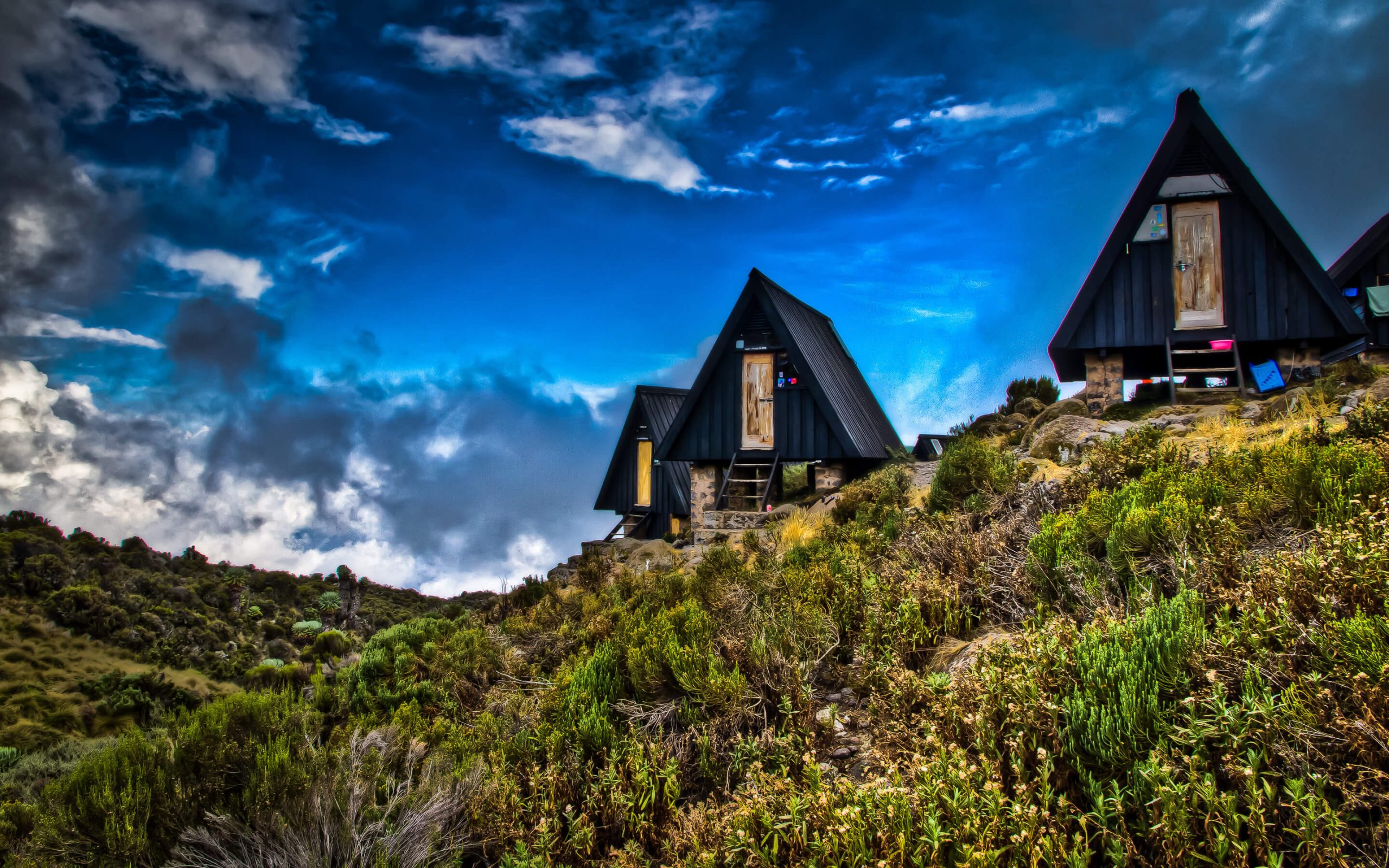
Machame Gate - Camp Machame
Transfer from the Hotel by car until the Mount Kilimanjaro National Park. We sign up at the Park’s office, at the gates of the Park. Then we get ready to start climbing. We go by a rain forest, a winding trail that takes us up on a ridge until Machame Camp, our camping site for tonight.
*Altitude change: from 1800 m to 3000 m (+1200 m)
*Distance: 11 km
*Time: 5-7 h
*Environment: Montane Forest
.
Camp Machame - Camp Shira
We have breakfast and then start our walk, during which we leave behind the rain forest. We continue ascending, traversing a valley and going up a rocky ridge, quite steep and covered in heath. Then we turn west, to the river’s gorge. We end the day at Camp Shira, where we have dinner and spend the night.
*Altitude change: 3000 m to 3850 m (+850 m)
*Distance: 9 km
*Time: 4-6 h
*Environment: Moorland
Camp Shira through Lava Tower - Camp Barranco
Today is crucial for acclimatization, our bodies are getting prepared for the summit day. It’s an intense day and you may feel the altitude symptoms. We ascend until Lava Tower (4600m), where we have lunch and rest. Then we go down to Barranco campsite, where we will sleep. This camp is located in a beautiful valley under the Breach and the Great Barranco Wall. and the sunset here is memorable! It’s a special place to photograph.
*Altitude change: 3850 m to 4600 m to 3950 m (+750 m)
*Distance: 12 km
*Time: 6-7 h
*Environment: Semi-deser
Camp Barranco - Camp Karanga
The day begins with a fun scramble, quite short until the top of the Great Barranco Wall. Then we cross over the scree to Karanga Valley (3930 m), located under the icefalls of Kersten, Heim, and Decken Glaciers. We spend the night at the camp Karanga.
*Altitude change: 3950 m to 3930 m
*Distance: 7 km
*Hiking Time: 4 h
*Environment: Alpine Desert
Camp Karanga - Camp Barafu
Leaving the Karanga camp behind, we reach the junction that connects with the Mweka Trail for the descent. Then we continue until the Barafu Hut. This marks the completion of the Southern Circuit. From here there are views of the top from different angles. We will camp, rest and enjoy some dinner. From here we can clearly see the Kibo and Mawenzi peaks.
*Altitude change: 3930 m to 4600 m (+670 m)
*Distance: 6 km
*Hiking Time: 3 h
*Environment: Alpine Desert
Barafu Camp until the Summit - Hut Mweka
We will wake up at 11:30 PM, quickly have some tea and cookies and start the hike. The destination is the summit located between the Ratzel and Rebman glaciers. Heading to the northwest, we go up through scree to Stella Point, on the rim of the crater. This is probably the most challenging portion of the hike, both physically and mentally. At Stella Point (5732 m) we have a short stop to rest, and the sunrise here will likely be the most marvelous you have ever seen if the weather permits. At the Uhuru Peak (5895 m), we reach the culminant point both of Mt Kilimanjaro and of Africa.
It can get really cold during the night. But it’ll be very warm at the end of the day of hiking. From the peak, we go down until the Hut Mweka campsite, via Barafu, where we have lunch. We need trekking poles for the loose gravel heading down to Camp Mweka (3100 m). Later in the day, we enjoy the last dinner in the mountains and a well-earned rest.
*Altitude change: 4600 m to 5895 m (+1295 m) (and down to 3100 m)
*Distance: 7 km ascent /23 km descent
*Time: 6-8 h ascent /6-7 h descent
*Environment: Stone scree, ice-capped summit / Alpine desert.
Mweka Camp - hotel
We go down until the Mweka Park Gate where you receive the summit certificate. At lower altitudes, it may be muddy and wet. Gaiters and trekking poles will be helpful. It’s convenient to have t-shirts and shorts for this part but keep your rain gear and warmer clothes at hand.
*Altitude change: 3100 m to 1800 m
*Distance: 8 km
*Time: 3-4 h
*Environment: Montane Forest.
Price includes
- Guiding fee
- Accommodation
- Transport during the trip
- Permit and entrance fees
- Group porters (transport of tents, cooking equipment, etc. for the group)
- Meals: Breakfast, Lunch, Dinner

Tour Reviews
There are no reviews yet.
Leave a Review